Scope
Blosseville coast was protected by great number of ice floes (east Greenland current), frequent fog and dangerous currents and has therefore remained almost untouched by humans.
Due to climate change, the coast becomes more easily accessible. Since it is only at a short distance from Iceland, impacts due to tourism and gain in interest toward arctic business and ‘exotic’ places can be fast and irreversible. This also includes mining prospection induced by potential deposits of rare metals (e.g. abandoned mining camp in Mikis Fjord / Sundalen).
An inventory is crucial to document landscape and ecosystems and measure past and future changes due to global warming and pollution by human activities.
Very little is know about Blosseville coast. To date there is only very coarse mapping available.

The Blosseville Coast is steep and difficult to access by ship owing to the great number of ice floes, frequent fog, dangerous currents and lack of good anchorages (definition Wikipedia).

The dramatic Blosseville Coast, Nanuq exploring Blosseville coast in 2017, Grivel Bugta
Objectives
We intend to make an expeditive survey of the Blosseville coast with selected places in order to describe its unique environment and features.
Its volcanic origin makes it most interesting to environmental science, such as e.g. thermal wells that are unique ecosystems and can give clues to future development induced by climate change.
Due to its remoteness, probes from the shore and mountain lakes will reveal unique data to understanding of transport of pollutants (especially micro- and nano plastics surface and sediment probes from places never ever visited by humans).
A documentary will share our observations and arise consciousness about the fragile nature of the arctic environment. During the expedition on-board activities will be shared on social media and Internet.
Collected data will be open-source for scientific and educational purposes.

Nanuq 2020 planned route

Blosseville coast location
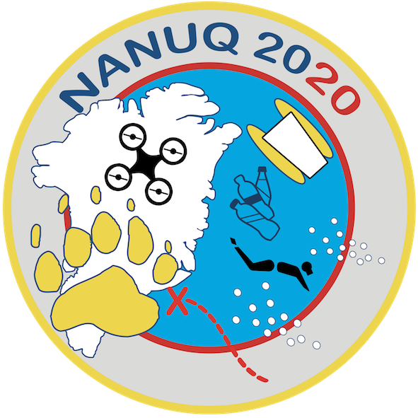
Planned field work
- Video and photos of the shoreline (ground, airborne and submarine);
- Inventory of shore structures wildlife;
- Observation and inventory of traces of human activities;
- Topographic modelling of selected places using aerial imagery documentation of hot spring areas using aerial thermal imagery;
- Bathymetric charting of selected places;
- Search for under water hot springs;
- Bathymetric probes;
- Geological field samples;
- Shoreline macro and micro plastics survey;
- Mountain lake nanoplastics surface and sediment probes;
- Documentary, including diving activities.
Timeline
June 20 – July 10 : transfer Nanuq from Norway to Akureyri / Iceland
July 10 – July 15 : preparation
July 15 – July 16 : crossing of Denmark strait > Cape Brewster (400km)
July 17 – July 27 : field work on Blosseville coast
July 28 – July 30 : crossing of Denmark strait > Isafjordur (350km)
July 31 : spare